

What file types does PIX4Dmapper deliver?
Your choice of outputs, compatible with industry-standard software
Color point cloud
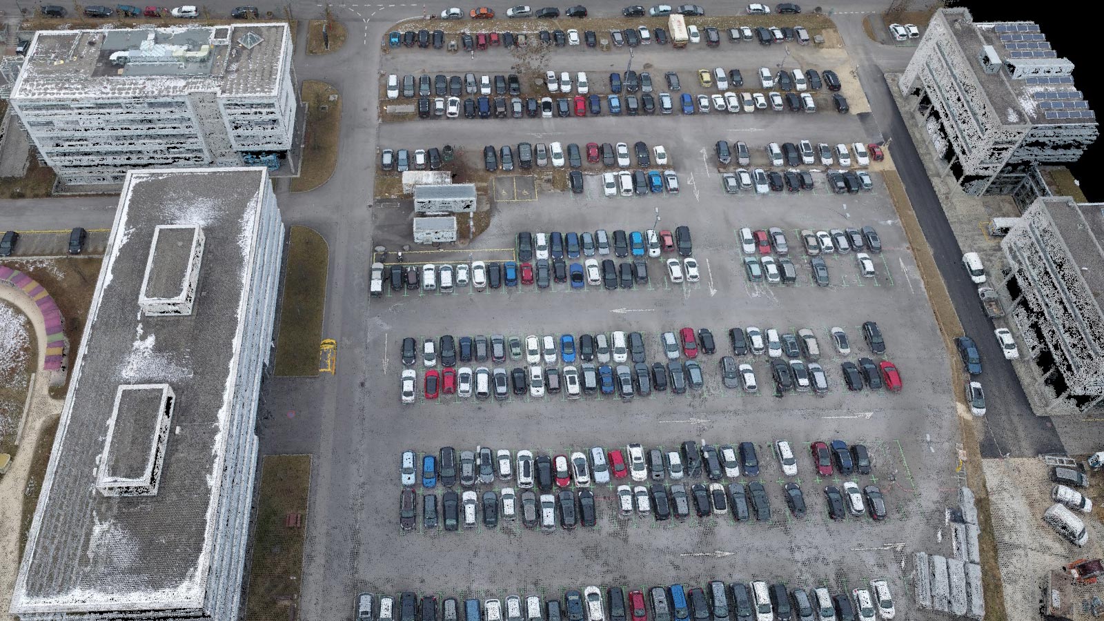
The color point cloud uses RGB data from a raster for colorization. Each point of the point cloud receives the RGB value of the raster pixel that has the same location.Output formats: .las, .laz, .ply, .xyz
Classified point cloud
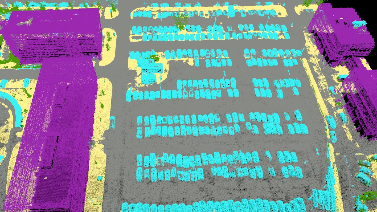
The point cloud is classifed in 5 predefined groups: ground, road surface, high vegetation, building, human made object. The results of the classification are used for the DTM generation.Output formats: .las, .laz
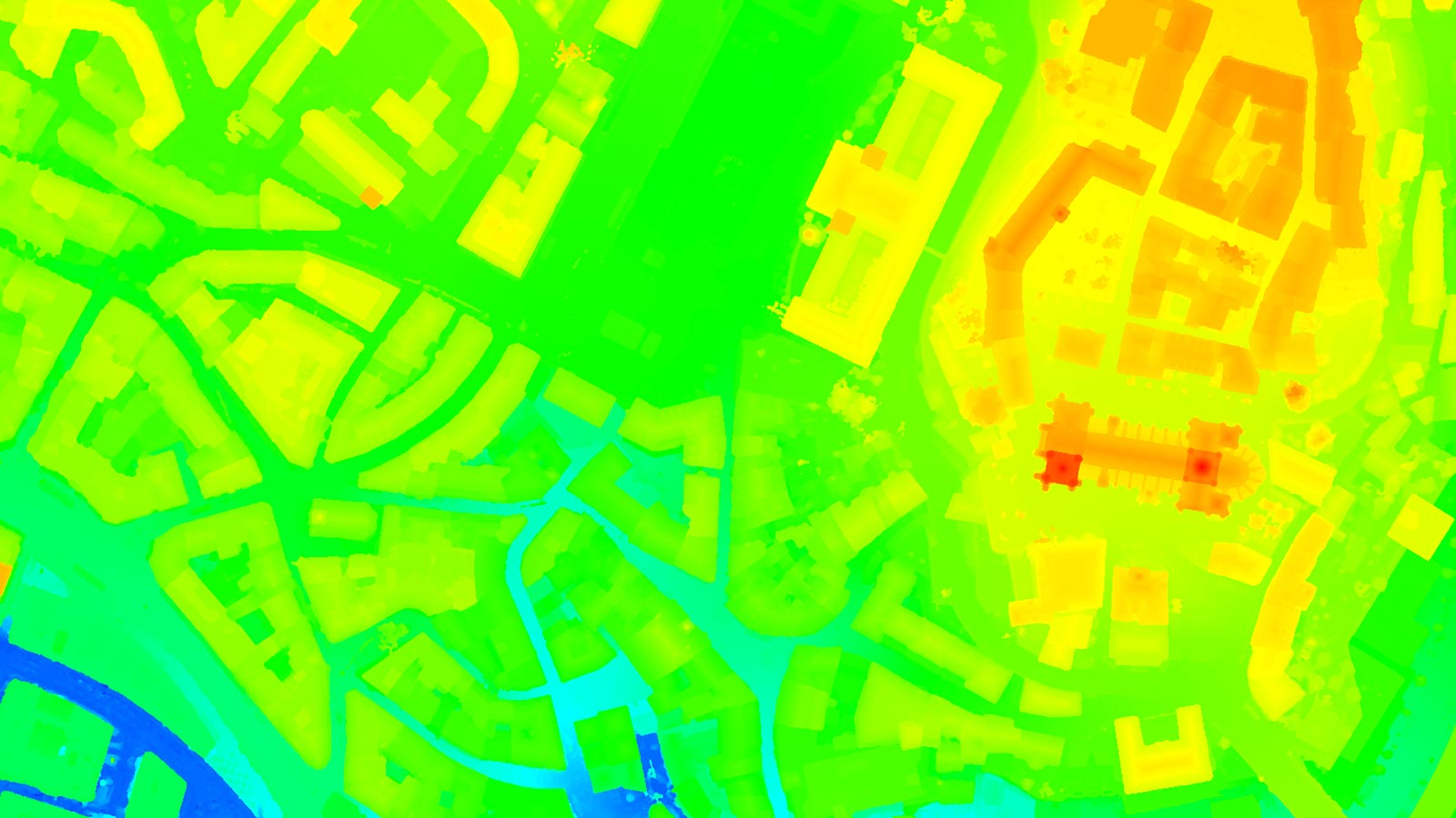
Orthomosaic
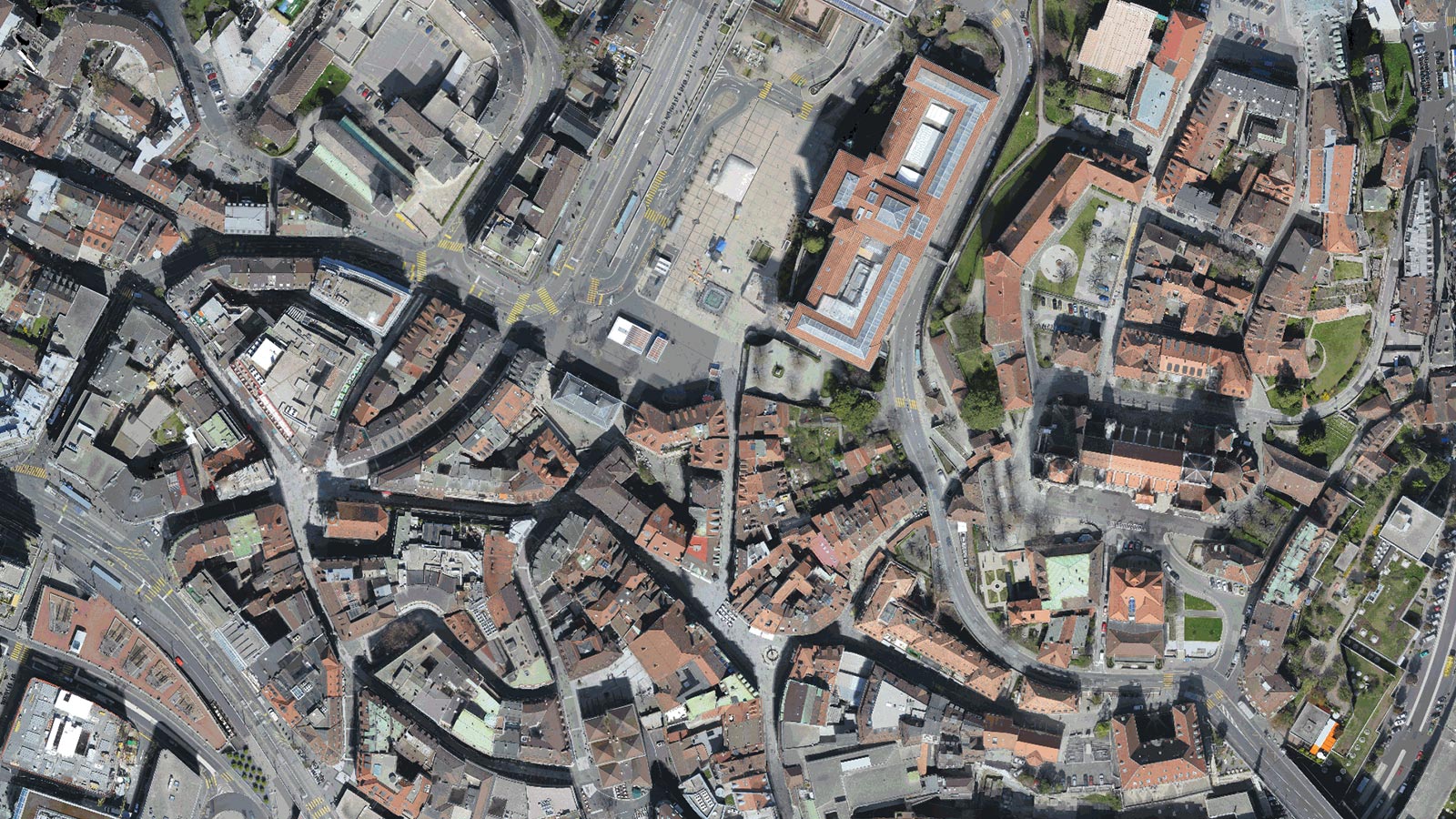
2D image map geometrically corrected such that the scale is uniform. Color balanced to be visually pleasing.Output formats: GeoTiff (.tif), .kml
Contour lines

These are lines connecting points of equal elevation. They allow to better understand the shape of the land surface (the topography) on a map.Output formats: .shp, .dxf, .pdf
Digital terrain model (DTM)
Digital elevation model (DEM)
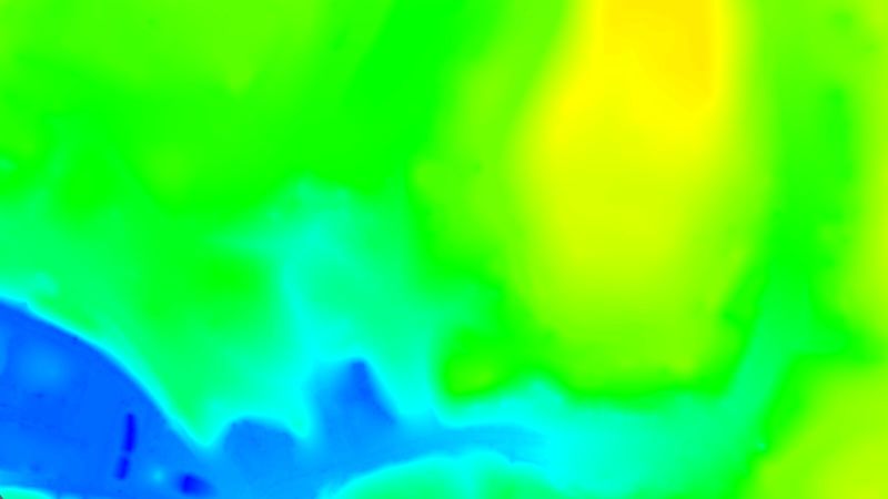
2.5 D model of the mapped area after filtering out objects such as buildings, that contains (X,Y,Z) information but no color information.Output formats: GeoTiff (.tif)
Digital surface model (DSM)
2.5 D model of the mapped area that contains (X,Y,Z) information, but no color information.Output formats: GeoTiff (.tif), .xyz, .las, .laz
Index maps
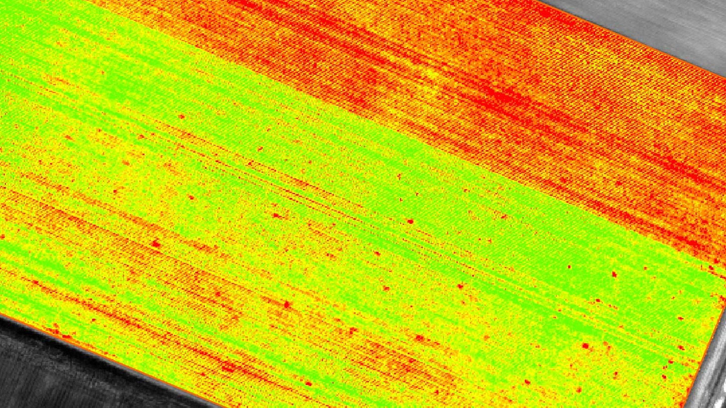
Each index is associated to an index map. For each pixel on this map, the value of the pixel is derived from the associated reflectance maps.Output formats: GeoTiff (.tif), .shp
Thermal maps
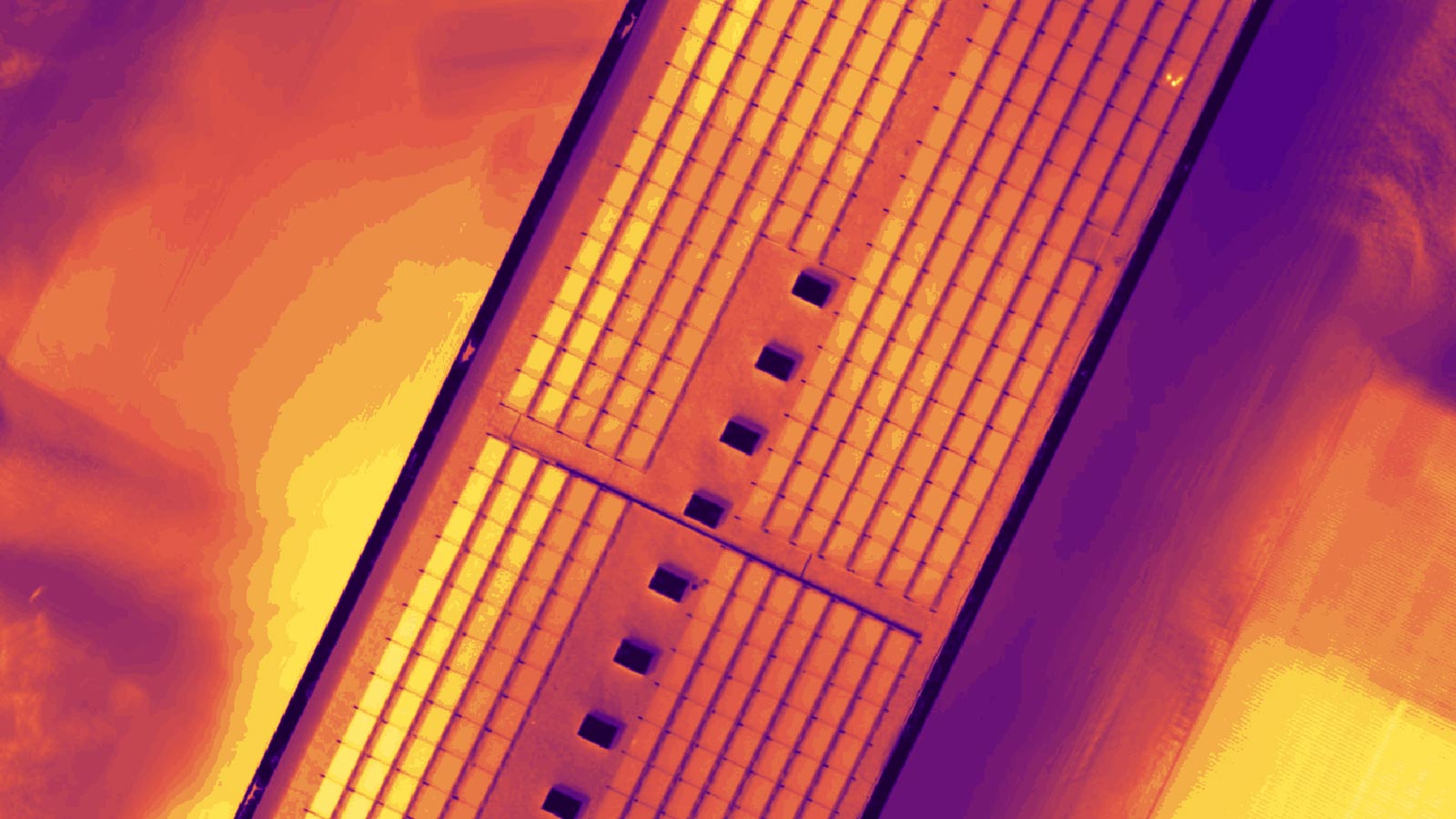
Thermal maps are 2D maps displaying the thermal information from infrared imaging cameras for each pixel.Output formats: GeoTiff (.tif)
Reflectance maps
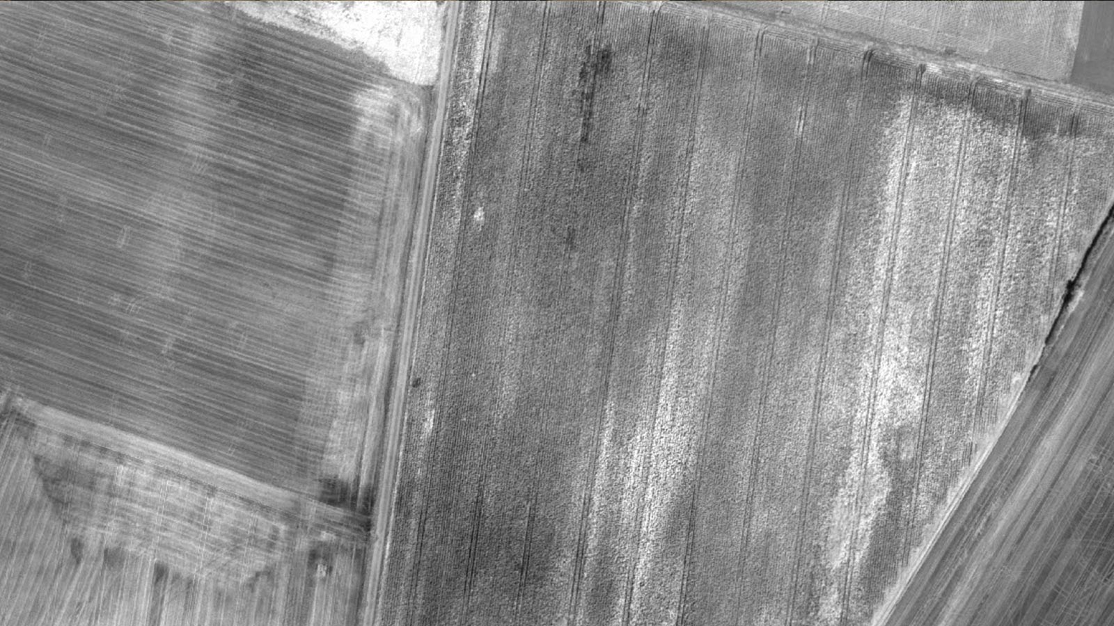
A reflectance map compiles the reflectance values of each pixel and geometry into a single function.Output formats: GeoTiff (.tif)
3D textured mesh
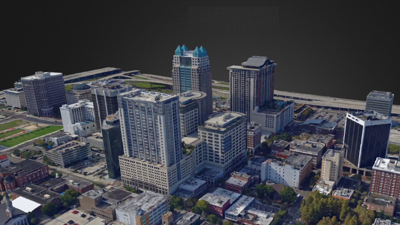
A representation of the shape of the model that consists of vertices, edges, faces and the texture from the images that is projected on it.Output formats: .ply, .fbx, .dxf, .obj, .pdf Level-of-detail mesh in:
.osgb, .slpkDiscover PIX4DmapperProfessional drone based mapping, purely from images
RESOURCES